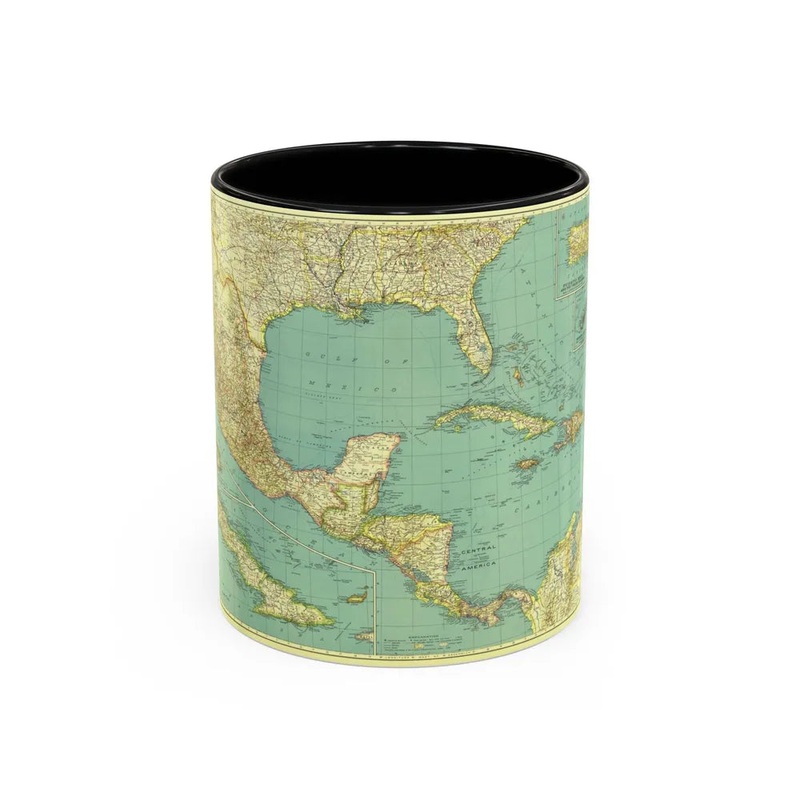
The map titled 'Central America and the West Indies (1934)' provides a historical geographical representation of Central America, comprising countries such as Belize, Costa Rica, El Salvador, Guatemala, Honduras, Nicaragua, and Panama, as well as the Caribbean islands collectively known as the West Indies. This map was produced in 1934, offering a geographical snapshot of these regions during that period. The map might serve various purposes such as historical research, education, or navigation but is neither promotional nor biased.
Express delivery and return policies
Free shipping on orders over $30
Processing time: 1-2 Days
Shipping time: 3-5 Days(According to the logistics method and delivery address)
Items can be returned or exchanged within 30 days !