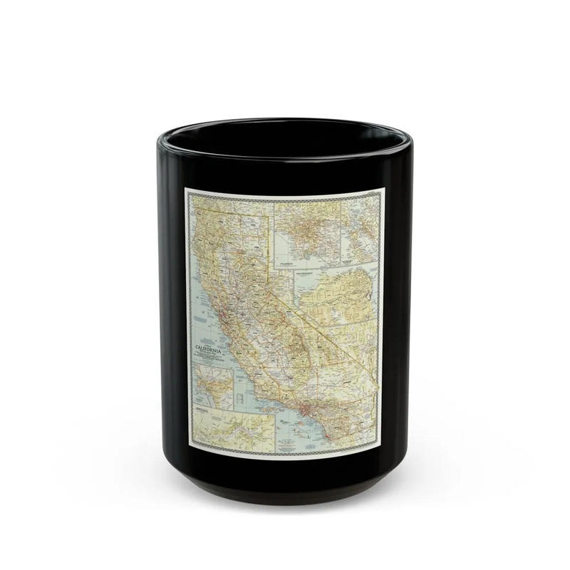
The "USA - California (1954) Map" represents a geographical depiction of the U.S. state of California as it appeared during 1954. This cartographic illustration provides a two-dimensional representation of California's topography, political boundaries, and significant cities, towns, roads, bodies of water, and other geographical features from that specific year. The map serves as an historical reference, offering insight into the state's geography during a particular period in the mid-20th century.
Express delivery and return policies
Free shipping on orders over $30
Processing time: 1-2 Days
Shipping time: 3-5 Days(According to the logistics method and delivery address)
Items can be returned or exchanged within 30 days !